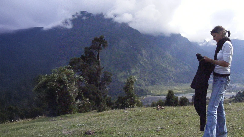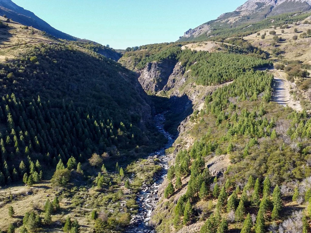
Surveying, a science that deals with the detailed description of the earth’s surface, plays a crucial role in the development and sustainability of various sectors; In the context of the Chilean countryside, its importance is even more evident due to the country’s geographic diversity, which ranges from the Andes Mountains to the Pacific coast, passing through valleys, plains and deserts.
Topography and its Relevance to Agriculture and Water Management
In Chile, topography is a fundamental tool for evaluating the productive potential of the soil, designing efficient irrigation systems and protecting the soil from erosion. Soil slope, orientation and composition vary considerably throughout the country, and topography allows farmers to identify the most suitable areas for growing different species, thus optimizing agricultural production.
In addition, efficient water management is crucial for agricultural and livestock development in Chile. Topography plays a fundamental role in this area by identifying and evaluating water sources, planning water supply systems, and preventing floods and droughts.
Surveying as an ally for rural development
Beyond its application in agriculture and water management, topography also plays an important role in rural development in general in Chile. For example, it is used to plan the construction of housing, schools, health centers and other public works in rural areas, assess the environmental impact of development projects, conduct geological and geotechnical studies for the construction of road and energy infrastructure, and create maps and digital terrain models for various purposes, such as territorial planning and risk management.
Cutting-edge technologies in Chilean surveying: boosting precision and efficiency
The surveying landscape in Chile is undergoing a radical transformation thanks to the adoption of cutting-edge technologies that optimize the accuracy, efficiency and profitability of projects. Among the most outstanding tools are:
Drones: allies of speed and precision:
Drones have revolutionized the industry, making it possible to perform topographic surveys in a matter of hours, which previously required weeks or months. Equipped with high-resolution cameras, they capture detailed images from different angles, which, through photogrammetry and specialized software, are converted into 3D digital models of the terrain with an impressive level of detail.
2. Total Stations: mapping with millimetric precision:
Total stations represent the pinnacle of surveying technology. These state-of-the-art instruments measure angles, elevations and distances with millimeter precision, allowing accurate and reliable data capture. In addition, they store the information in real time, facilitating further analysis and processing.
3. High Precision GPS: locating each point with accuracy:
High-precision GPS has transformed the location and marking of points on the earth’s surface. Accurate to centimeters or even millimeters, these systems are essential for alignment, surveying, stakeout and leveling work, significantly optimizing the time and quality of tasks.
4. Digital Scanners: capturing reality in 3D:
Digital scanners take data capture to a new level, obtaining massive three-dimensional information of the surface to be studied. Using a laser beam, they measure angles and distances between points with great precision, generating detailed point clouds that allow the creation of realistic and accurate 3D models.
Positive impact on construction industry:
The implementation of these cutting-edge technologies in Chile has had a profoundly positive impact on the construction industry. The significant reduction of errors, the optimization of time and resources, and the obtaining of accurate and reliable data have contributed to:
- Improve quality of works: Detailed 3D models enable better planning and execution of projects, minimizing errors and additional work.
- Reduce costs: Optimization of time and resources translates into considerable savings in total project costs.
- Accelerate the delivery of works: Efficiency in data capture and processing allows to speed up the delivery of projects, meeting established deadlines.
The adoption of advanced technologies in Chilean surveying is driving a new era of precision, efficiency and cost-effectiveness in the construction industry, setting the stage for a future of more ambitious, sustainable and high quality projects.
How a topographic survey is performed in Chile
A topographic survey is an essential process in the planning and development of construction and urban planning projects. This procedure is carried out to determine the physical characteristics of a terrain and its surroundings. In Chile, certain steps are followed and specific tools are used to guarantee the accuracy and reliability of the survey. The key steps and considerations in conducting a topographic survey in Chile are described below:
1. Preparation and planning.
- Request for plans and background information: The owner of the land must request the relevant plans and background information from the Dirección de Obras Municipales (DOM). These documents include cadastral plans and the public deed of the property registered at the Real Estate Registry.
- Documentation review: Documents obtained are reviewed to ensure that all necessary information is available and up to date.
2. Field work.
- Checkpoint marking: Georeferenced checkpoints are established in the field that will serve as reference for all measurements.
- Boundary measurement: The boundaries of the land are verified and rectified by comparison with the plans obtained and the public deed.
- Land detail record: Se miden y registran características físicas del terreno, incluyendo:
- Location of the land.
- Trees and significant vegetation.
- Depressions and elevations.
- Potable water chambers (AP) and electrical chambers.
- Roadbed and road axles.
- Any other characteristics relevant to the project.
3. Data processing
- Data analysis and adjustment: Data collected in the field is analyzed and adjusted using specialized surveying software to ensure accuracy.
- Generation of topographic plans: detailed terrain plans are created including all measured and recorded elements. These plans are essential for the planning and execution of the project.
4. Verification and validation.
- Verification of slopes and construction areas: It is verified that the slopes of the land and the areas enabled for construction comply with municipal and regulatory requirements.
- Final review and validation: Survey plans and information collected are reviewed by engineers and surveyors to ensure accuracy and compliance with local regulations.
Additional considerations
- Norms and regulations: It is crucial to comply with all rules and regulations established by local and municipal authorities in Chile.
- Safety: During fieldwork, all safety measures must be followed to protect personnel and equipment used.
- Collaboration with professionals: Working together with engineers, architects and other professionals in the field is essential to integrate the topographic survey into the overall project.
In summary, topography is an essential discipline for the sustainable development of the Chilean countryside. Its application in various fields allows optimizing the use of natural resources, improving agricultural productivity, ensuring the welfare of rural communities and contributing to the country’s economic growth. As Chile continues to develop and face new challenges, the importance of surveying will only continue to grow.
Do you need surveying solutions for your land? Contact us and we can help you.